


- Details
- Written by Mathias Disney
- Category: Blog
- Published: 30 April 2015
As part of the GREENHOUSE activities in 2015, the NERC Airborne Research and Survey Facility (ARSF) will be collecting high resolution optical and LIDAR remote sensing data over the various GREENHOUSE field sites in Lincolnshire, Dumfries and Harwood Forest, and the surrounding areas.

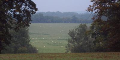
The ARSF is a NERC facility that supports science through acquisition of a range of cutting edge remote sensing data products; there are very few facilities worldwide with the instrument and platform capabilities of the ARSF. The data they are collecting will provide the GREENHOUSE team with high resolution data for land cover mapping, discrimination of crop and cover types, as well as very detailed profiles of the vegetation structure (canopy height and vertical distribution) over the various field sites. This information will help parameterise and test the large-scale carbon models that will be used to model the biogenic carbon fluxes from the landscape. The movie below shows an example from a recent ARSF flight over Lincolnshire: these are stills from the webcam mounted in the instrument bay, stitched together into an animation of the various flightlines. In this early part of the growing season we can see many interesting features of the UK agricultural landscape: the different arrangements of crop planting and growth patterns; different rates of emergence of winter and spring-planted crops; patterns of topographic and sub-surface or dried-up river bed features (see 0:30 and 0:48, for example).